
Description
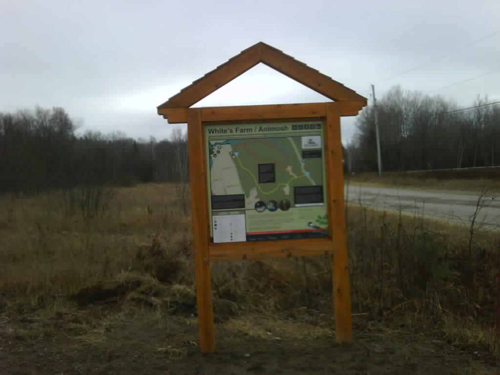
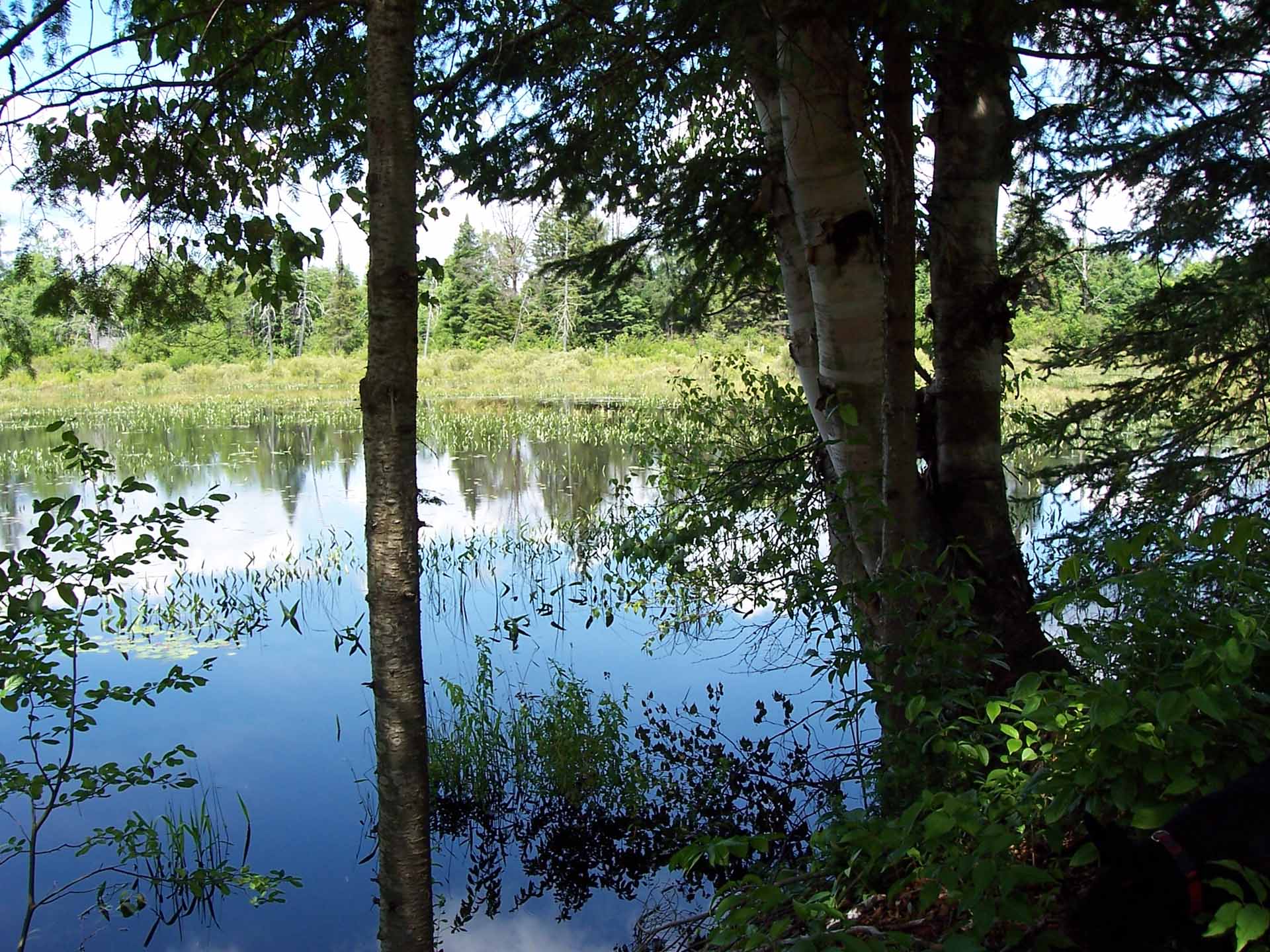
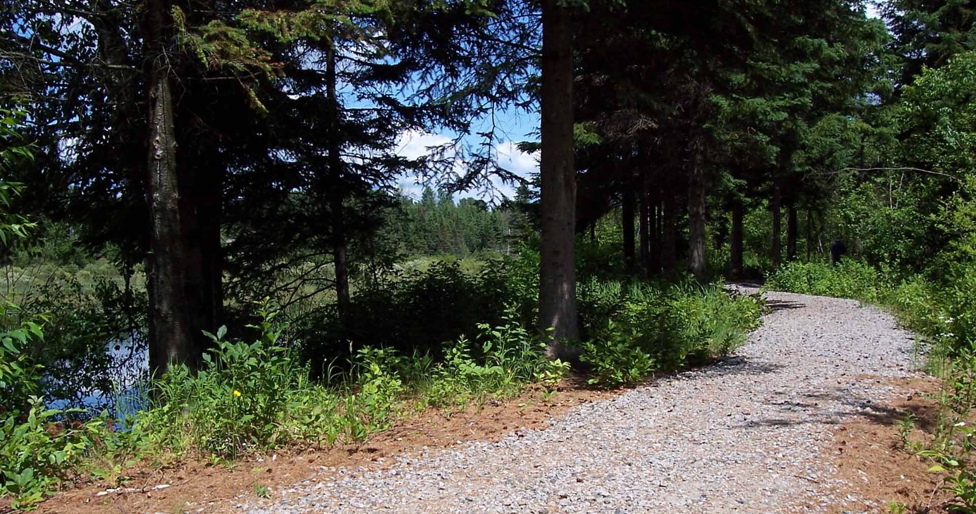
The White’s Farm Trail is named for the White family who farmed the property beginning in the 1920s. Much of the current trail runs through land that was hayfield over 50 years ago. The looped trail winds its way alongside a larger wetland area, beside Sucker Creek, then curls through open field and woodland. The level, meandering pathway provides a pleasant, shaded outing during the hot summer months.
Animosh Trail was created by Kearney’s Dog Sled Committee. The 1 km trail climbs steeply at the mid-point up the aptly named Widowmakers hill.
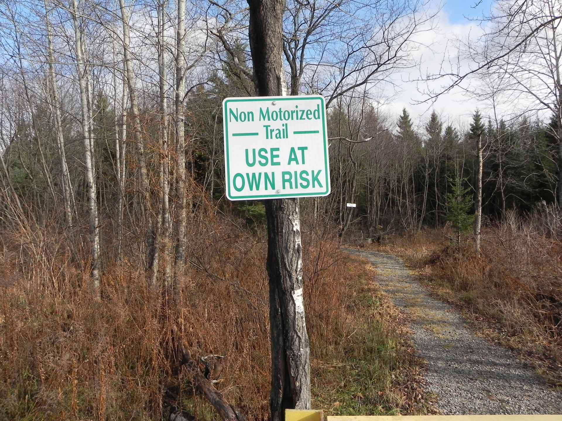
Please note: The walking trails are intersected at several places by snowmobile trails. These follow the route of a former winter logging road.
Trailhead Parking: 190 Rain Lake Rd, Kearney, ON P0A 1M0
Google Maps Directions
Trailhead UTM 552882 mE x 5120230 mN
Ownership Town of Kearney
Management Town of Kearney
Length 1.6 km
For More Information
Town of Kearney
(705) 636-7752 admin@townofkearney.ca
ADVENTURE TRAILS MAP
Print map with 1000 kms + of hiking, cycling, paddling, cross-country skiing and snowshoeing trails across Ontario’s Near North